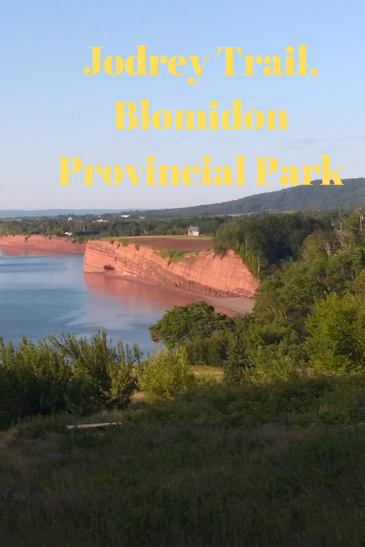
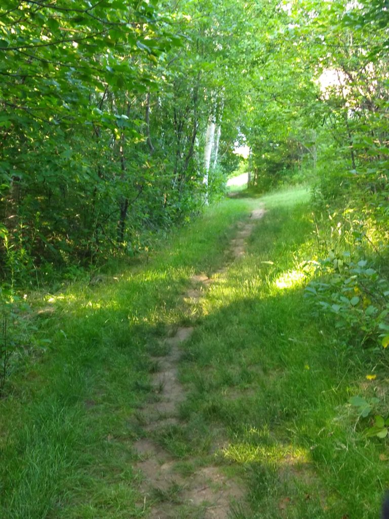
The Jodrey Trail, Blomindon Provincial Park in 2019
It’s been several decades since I hiked the Jodrey trail and all I remember about it was that it was muddy and steep.
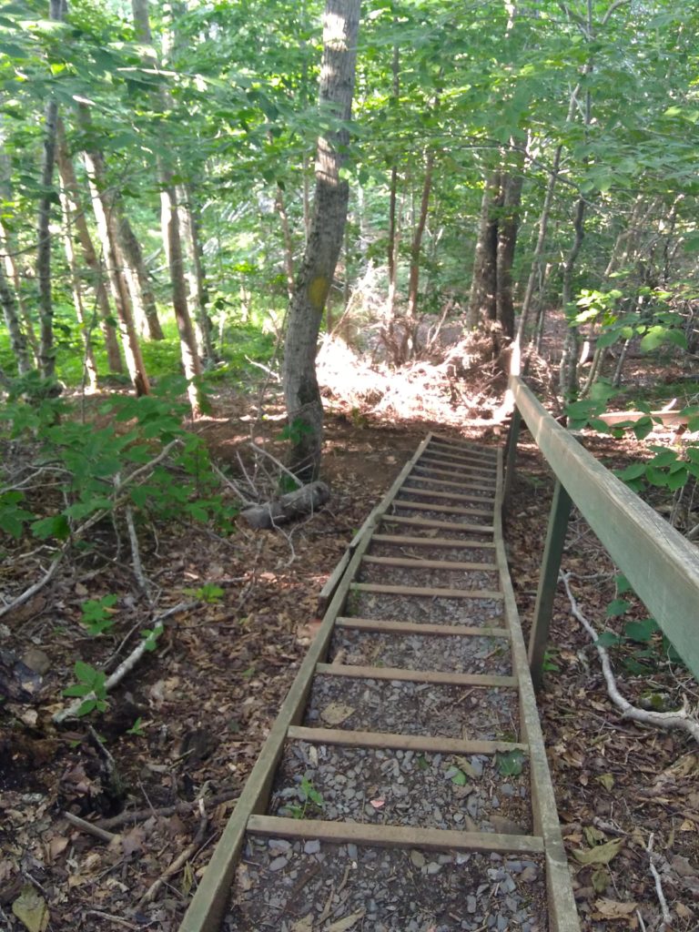
Guess what? it’s still steep. The trail climbs 190m winding through hardwood forests up, up and up! I know 190m is not much for the lot of you fit as a fiddle folk-but it is for me and it’s one of the reasons I wanted to try it again. Was it as hellish as I remembered?
It wasn’t.
Don’t get me wrong. The Jodrey Trail is no walk in the park. I was breathing pretty heavy way before I got to the top. But with age comes supposed wisdom. I don’t need to break any records-or my neck for that matter. I ‘wisely’ stepped out of the way to let a young lady continue her snappy ascent upwards.
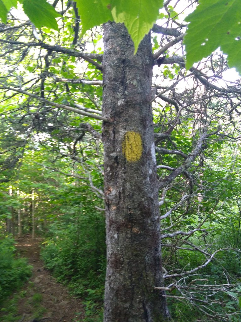
The trail is well marked-just the way I like it with red slashings along the way up and yellow the way back. And the trail is well worn from the hundreds of thousands of feet having trod that soil.
Except at the point where you leave the trees and enter the meadow- no signs to say go left, right or back the way you came. I turn left for a short distance, but then retrace my steps and head right, along the edge of the picnic area until I get my bearings again.
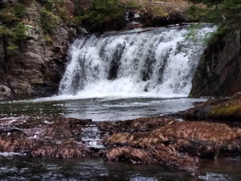
It’s the kind of hike that makes you happy. A gawd-awful climb that leaves ones legs shaky, with stunning views, a slight breeze, and birds twittering in the early morning sunshine. There’s a picnic table with a view that overlooks the entire length of the lower peninsula and perfect for sitting a spell and sharing your water with your dog who is happy to be along for the hike> And if the tide is just ebbing, as it was today, you can promise her a swim when you finish
What You Need to Know About the Jodrey Trail
- Find it at 3138 Pereau Road, Canning.
- The Jodrey Trail is approximately 5.6 km and when combined with the parks other trails, extends to about 13 km.
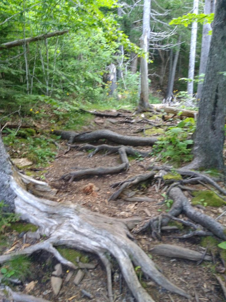
- Brings water (you’ll need it )and a walking stick, to help navigate those tangled roots and rocky sections.
- Almost as tricky going back down the mountain as it was climbing up it-it can be slippery in the bare dirt areas .Don’t ask how I know, but I know.
- I found a geocache there. Not telling where but it’s pretty easy to spot.
-
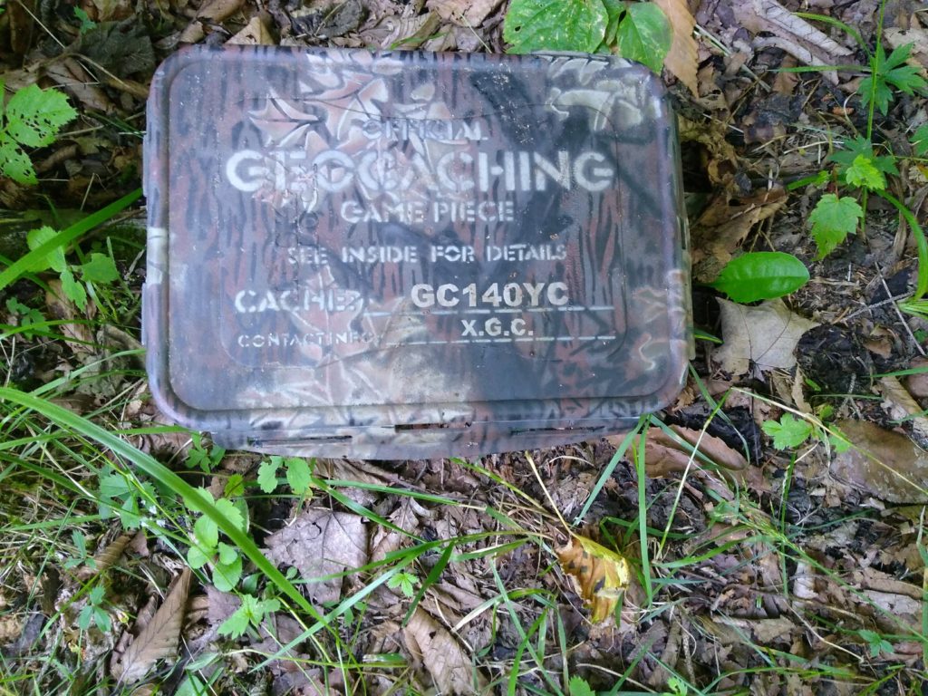
Surprise! A geocache on the Jodrey trail