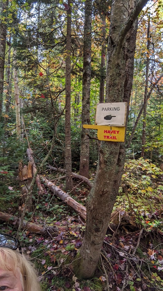
Wandering the Wolfville Watershed Trails
The Wolfville Watershed trails are a network of trails located on the Gaspereau Mountain-up past Gaspereau school located on Greenfield Road and then left on Forest Hill Road. At the very end of Forest Hill road is a small parking area on the right. I’m not one to get lost easily (haha -joke) and these trails were a bit confusing. I DID get a bit confused at my first attempt. Now I feel like I have a good handle of the three trails I explore most frequently: The Hemlock Ravine and Havey Trail combined. The Hemlock Ravine Trail and the Mud Dam Trail to the Gaspereau Mountain Reservoir.
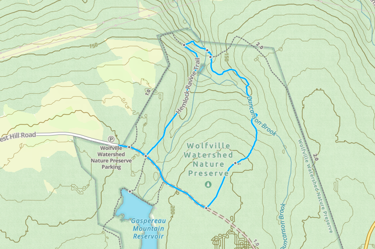
The Hemlock Ravine and Havey Trail
Wolfville Watershed
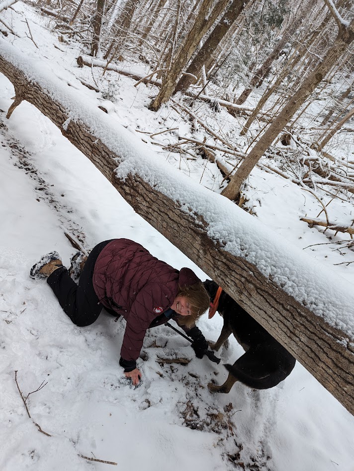
This is 3.57 km in length and the scrambling up hills is about 140 meters elevation . Traveling clockwise, you will cross Duncans Brook- no bridge, just cross the brook-easily crossed in summer, fall and winters with little snow. I’m not sure about spring with heavy rain. Anyone? Alternatively,you can inch across the top of the dam. Crossing the brook then means crawling a) from the brook up to the bank and b) from the bank up the hill. If I can do it at my advanced age, you can. Share on X You will begin to find (few and far between )yellow flashes on trees, and will cross water twice more going clockwise . At the third crossing, looking to your right, there is a rope to help you up the bank. I could have used ropes like these earlier.
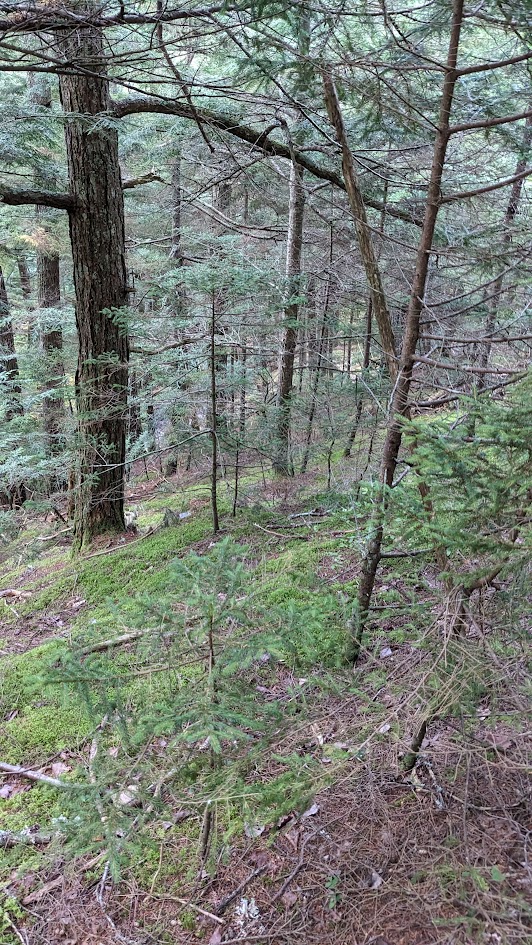
The Hemlock Ravine Trail
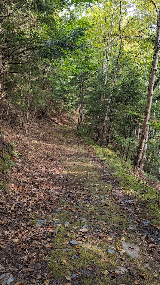
This trail is only 2.4 km. No real climbing involved. It can be beautiful in fall and hellishly muddy in spring and after heavy rain . Like suck your rubber boots off your feet muddy. Going clockwise, make sure you keep straight on once you get on the far side rimming the ravine, lest you be drawn into going down towards the brook and have to backtrack or keeping going along the Havey trail
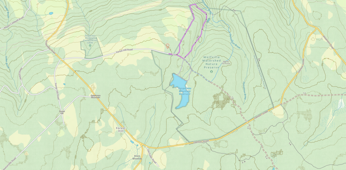
Mud Dam Trail to Gaspereau Mountain Reservoir
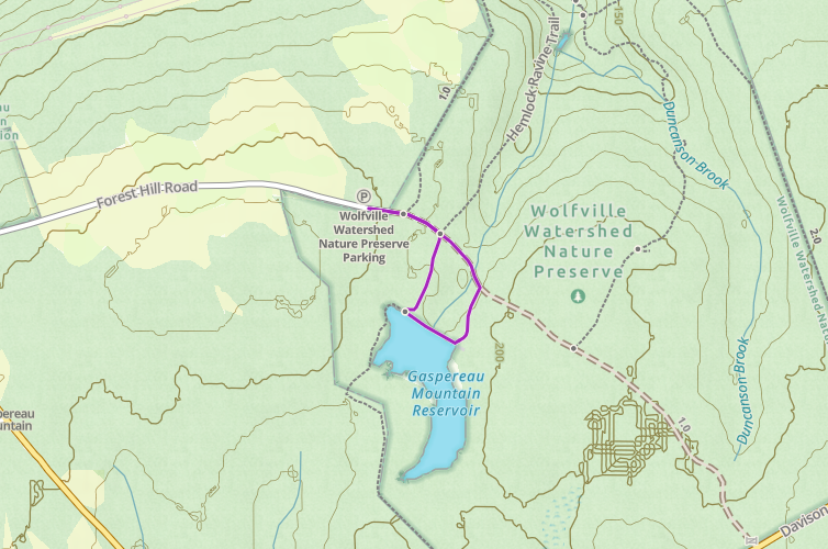
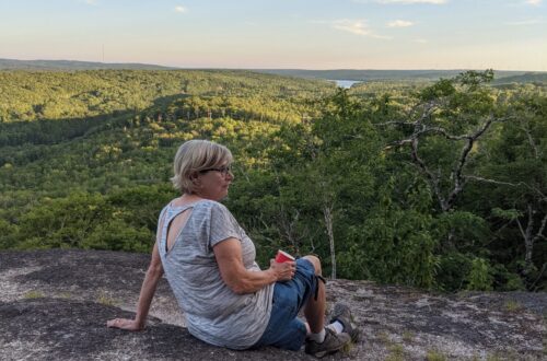
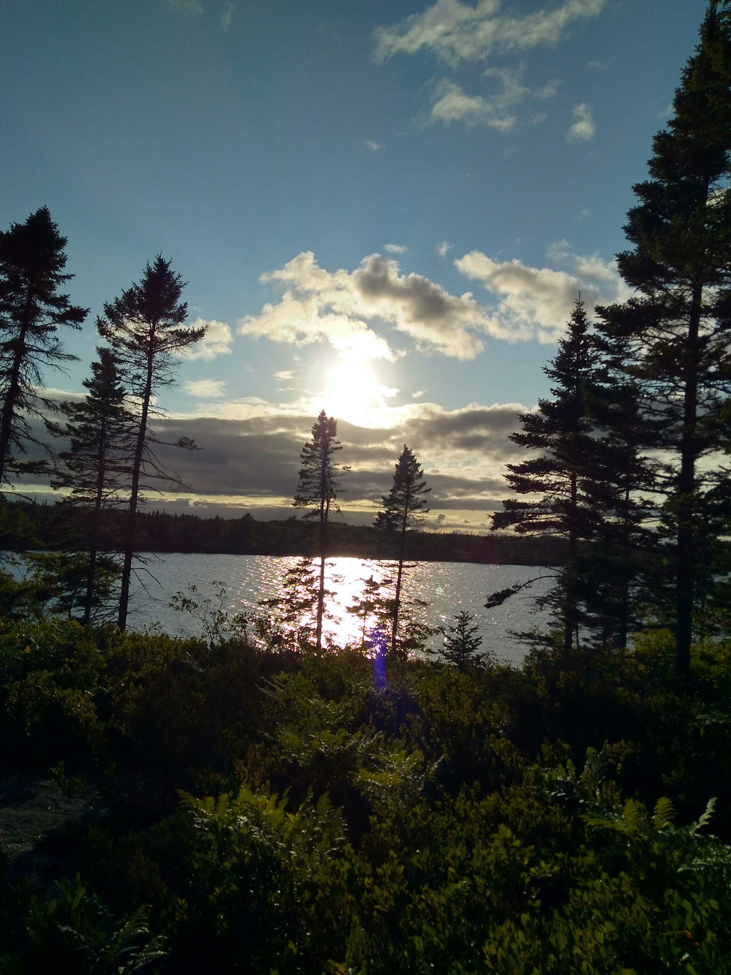
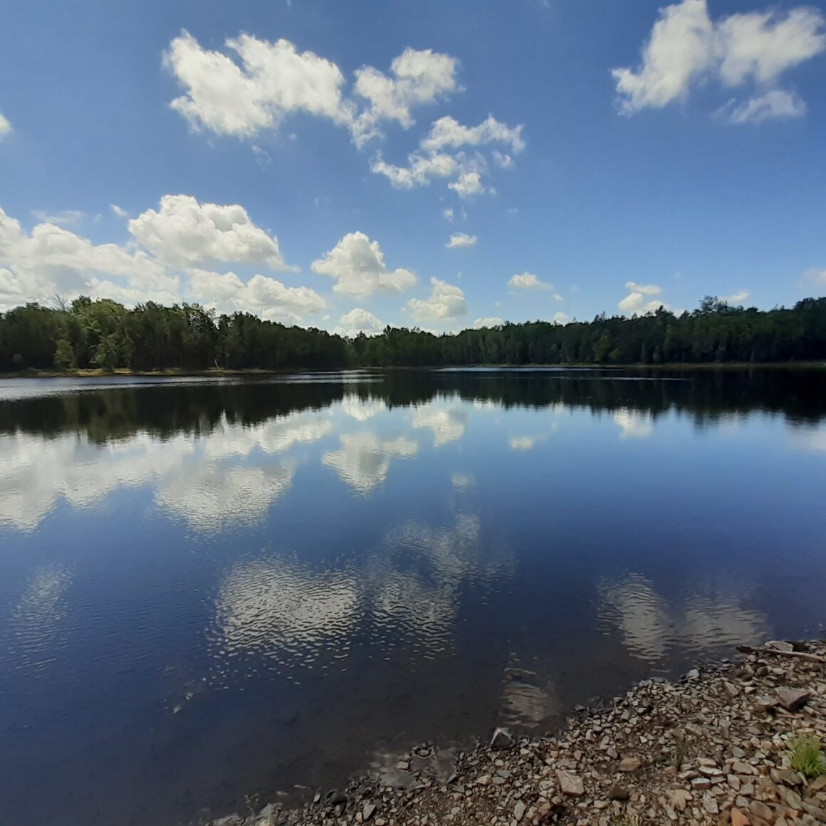
This is a delightful little trail that skirts the upper part of the reservoir. It’s a favorite dog walking, dog swimming and sometimes me swimming trail. Only about 1.5 km if you do the loop pictured. There is another trail branching off that that I have not done-but it goes quite a long way. Going from left to right on this map, the far end of the trail by the lake looks like it disappears but look closer and you will see it going down a slight hill and over the brook. The up and to the right is a small beach.Coming up from the beach, veer slightly left along a woods road.
What You Need To Know About the Wolfville Watershed Trails
-
- Parking is at 45.05350, -64.3305 or 00 Forest Hill Rd, Wolfville, NS B4P 2R1
- Very limited cell service
- Tell somewhere you are going!
- Bring lots of water and some food. Dress in layers