Hiking Up Moses Mountain
I always pre-hike an unfamiliar trail in preparation for a guided trek, so we planned this hike for a beautiful sunny Sunday morning. This was attempt #2- we previously hiked what we thought was Moses Mountain-but nope.
We are nothing if not stubborn,so today, through a somewhat circuitous route, we managed to drag ourselves to the top. It was worth a second try.⁸
How to Get There
Take exit 5 from Highway 101, turn left from the off-ramp towards Windsor and then right on highway 1. Turn left onto Highway 14 (the Chester Road) Drive just over 11 km and you will come to a sign that says Mill Section. Start looking for civic numbers on the right-2955 , 2957 and 2961. Turn right there and drive a short road to a small parking area on the right next to the gate. Do not park inside the gate if it’s open-it may well be closed when you get back and then what are ya going to do, hmm?
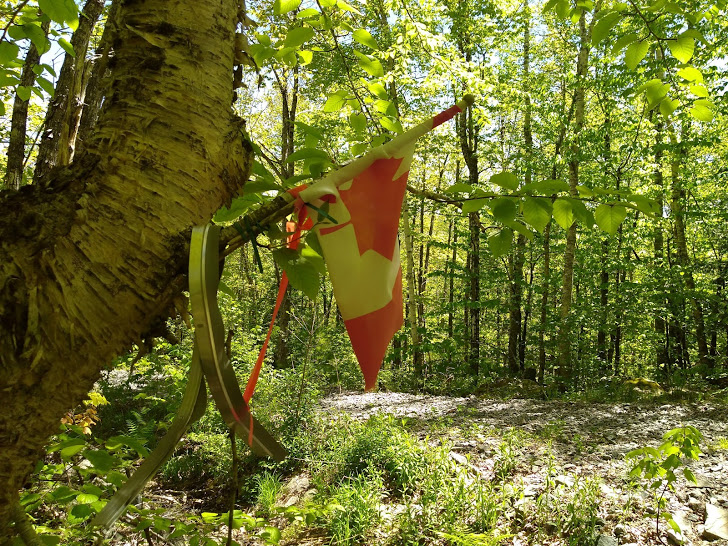
From inside the gate turn right and walk across a bridge and up a service road for about 1 .25 km. At that point be on the lookout for a tree with a piece of metal wrapped around a tree…not from anger,I suspect ,but because someone took the marking flag down.
Yes, yes, we walked past this on the previous hike without seeing it.In our defense,we were expecting it to be closer to the power line,which was ano That’s not really a defense though, is it?
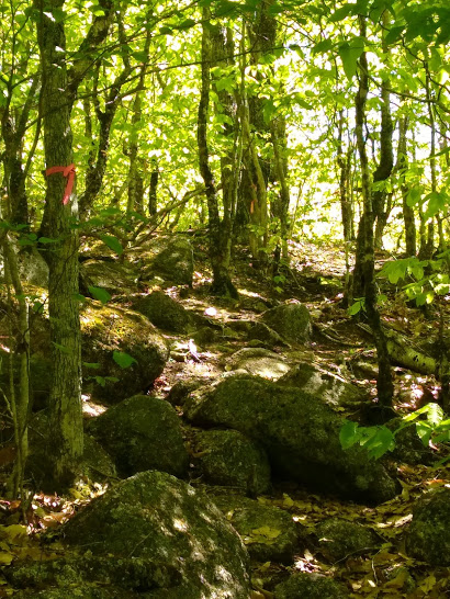
You will see a clearly marked trail that winds through the woods and up, up and up to the top.(elevation 162 m) This is a narrow trail at times with a chance to get wet feet at the start.
It may be a steep hike but not a terribly long one-the way we came was less than 4. 5 km)
What You Need to Know About Moses Mountain
- The service road is steep with lots of rocks that are uncomfortable to walk on
- The trail itself is very well marked with orange hunters tape, it also has lots of rocks and roots
- It goes without saying it’s steep
- There may be a nice breeze at the top, but there were lots of annoying black-flies and probably lurking ticks- so we made sure to apply insect repellent.
- Ditto sunscreen
- Bring lots of water and wear good shoes. A hiking pole helps too.
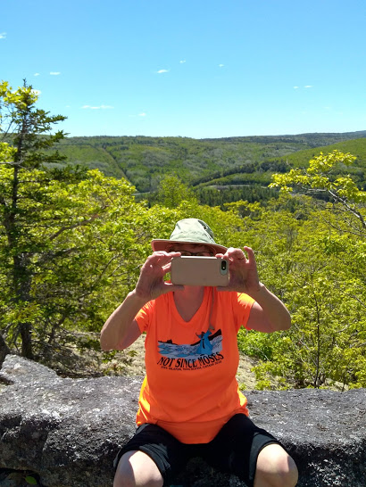
- Bring a lunch or snack and enjoy the view from the top
You May Also Like
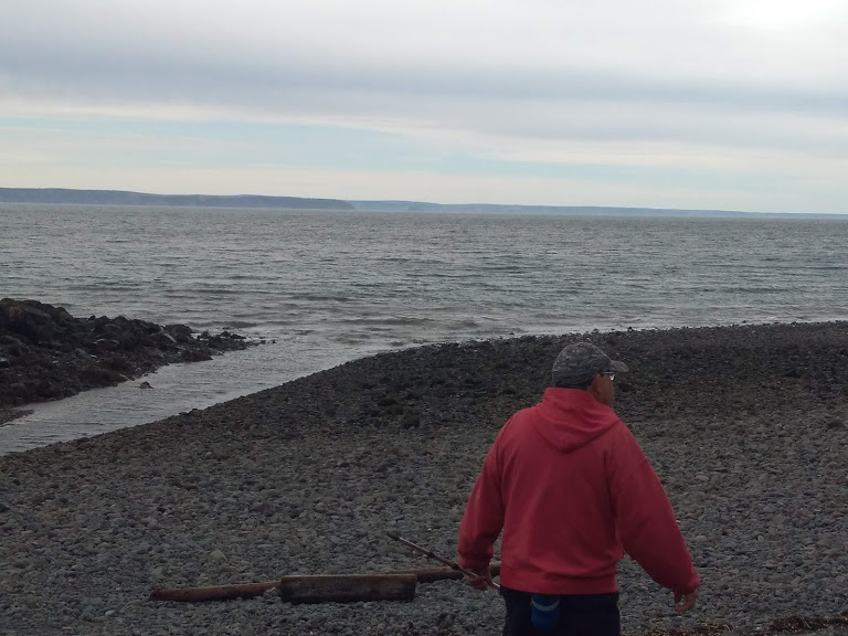
Flounder Fishing in the Minas Basin
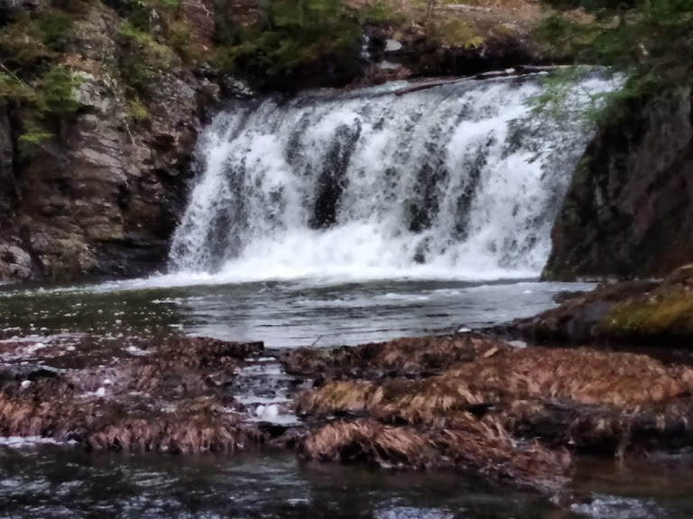
Meandering to Meander River Falls